If you're involved in 3D surveying, you've likely come across complex terminology such as LiDAR, point clouds, and reality capture. In this article, we will break down the basics of these concepts, providing insights into the 3D standards of modern surveying.
LiDAR Market Growth
According to a report by Research and Markets, the global Light Detection and Ranging (LiDAR) market is set to reach $4.5 billion by 2022, with a Compound Annual Growth Rate (CAGR) of 24.0% from $1.5 billion in 2017. Industries such as space exploration, automotive, military and defence, energy, construction, environmental and mining, have all been quoted as significant market growth segments, highlighting the widespread impact of LiDAR technology.
Understanding LiDAR
LiDAR is more of a methodology than a technology. Although often treated as an acronym, the term originated as a combination of "light" and "radar". The process involves collecting measurements using ultraviolet, visible, or near-infrared light, to create 3D models and maps of objects and environments. The technology gauges spatial relationships and shapes by measuring the time it takes for signals to bounce off objects and return to the scanner.
LiDAR describes the technological tools that deliver this outcome, but more accurately describes the ‘time-of-flight’ measurement process. An analogy to understand this is the echolocation used by bats to determine the location and distance of objects. LiDAR can target a wide range of materials, including non-metallic objects, rocks, rain, chemical compounds, aerosols, clouds and even single molecules. A narrow laser beam can map physical features with high resolutions, with an aircraft able to map terrain at 30cm (12 in) resolution or better.
LiDAR Challenges
Like any application of state-of-the-art technology, LiDAR has its challenges. The main challenges can be summarised as the need for line of sight access, reflective surfaces causing problems for the laser, and bad weather interfering with data collection. While much is being invested in addressing these challenges, especially in the use of LiDAR with autonomous vehicles, the application of LiDAR to stationary objects is a more proven case at this stage. It is also the more accurate means of deploying the technology and methodology.
How LiDAR Works
LiDAR systems send out pulses of light just outside the visible spectrum and register how long it takes each pulse to return. The direction and distance of whatever the pulse hits are recorded as a point of data. Different LiDAR units have different methods, but generally, they sweep in a circle like a RADAR dish, while simultaneously moving the laser up and down. Once the individual readings are processed and organised, the LiDAR data becomes point cloud data. The initial point clouds are large collections of 3D elevation points, including x, y, and z coordinates, along with additional attributes such as GPS time stamps, if available.
Point Clouds
Point clouds are a powerful and dynamic information storage technology. By representing spatial data as a collection of coordinates, they can handle large datasets for a wide array of downstream processing. Primarily, in this instance, they are used as a middleman to turn the raw data collected by LiDAR processes into 3D models. However, they can be used to store and manipulate any spatial information.

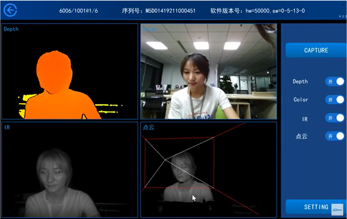
A 3D point cloud is a collection of data points analogous to the real world in three dimensions. Each point is defined by its own position and (sometimes) colour. The points can then be rendered as pixels to create a highly accurate 3D model of the observed objects and environments.
Conclusion
Point clouds can be generated using a variety of methods, not just LiDAR. For example, photogrammetry is another technique that can be used to create point clouds. However, LiDAR is often preferred due to its ability to penetrate dense foliage and its high level of accuracy.
Point clouds can be used for a variety of purposes beyond just creating 3D models. They can be used for feature extraction, measurement, and analysis. For example, point clouds can be used to identify and measure changes in an environment over time, such as erosion or construction progress.
Reality capture and 3D surveys
LiDAR and point clouds are key components of reality capture, which is the process of capturing the physical world and creating a digital replica. Reality capture can be used for a variety of purposes, including surveying, construction, and entertainment.
3D surveys, also known as 3D laser scanning, are a common use case for reality capture. They involve using LiDAR or other scanning technologies to capture detailed 3D data of an environment or object. This data can then be used to create accurate 3D models or maps.
3D surveys are commonly used in construction and engineering to capture as-built conditions of structures and sites. This information can then be used for design and planning purposes. 3D surveys can also be used for cultural heritage documentation, environmental monitoring, and forensic investigations.
In conclusion, LiDAR and point clouds are powerful tools for capturing and analyzing 3D data. While LiDAR is a methodology for collecting 3D data using lasers, point clouds are the output of this data and can be used for a variety of downstream processing. Together, they form the foundation of reality capture and 3D surveys, which have numerous applications in various industries.